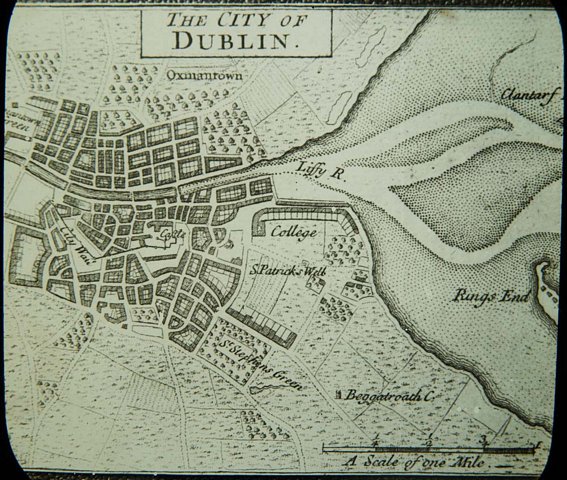
The first published map of Dublin, drawn by cartographer John Speed in 1610 (DCLA, Dixon Slide, 27.19)
This census records system has been replaced with a newer version available at https://nationalarchives.ie/collections/search-the-census/ and will be coming offline in the coming months. Any updates made to the data will only be reflected in the new system and there will be no automated links established between the old and new census systems. Please ensure you make all necessary arrangements as soon as possible.